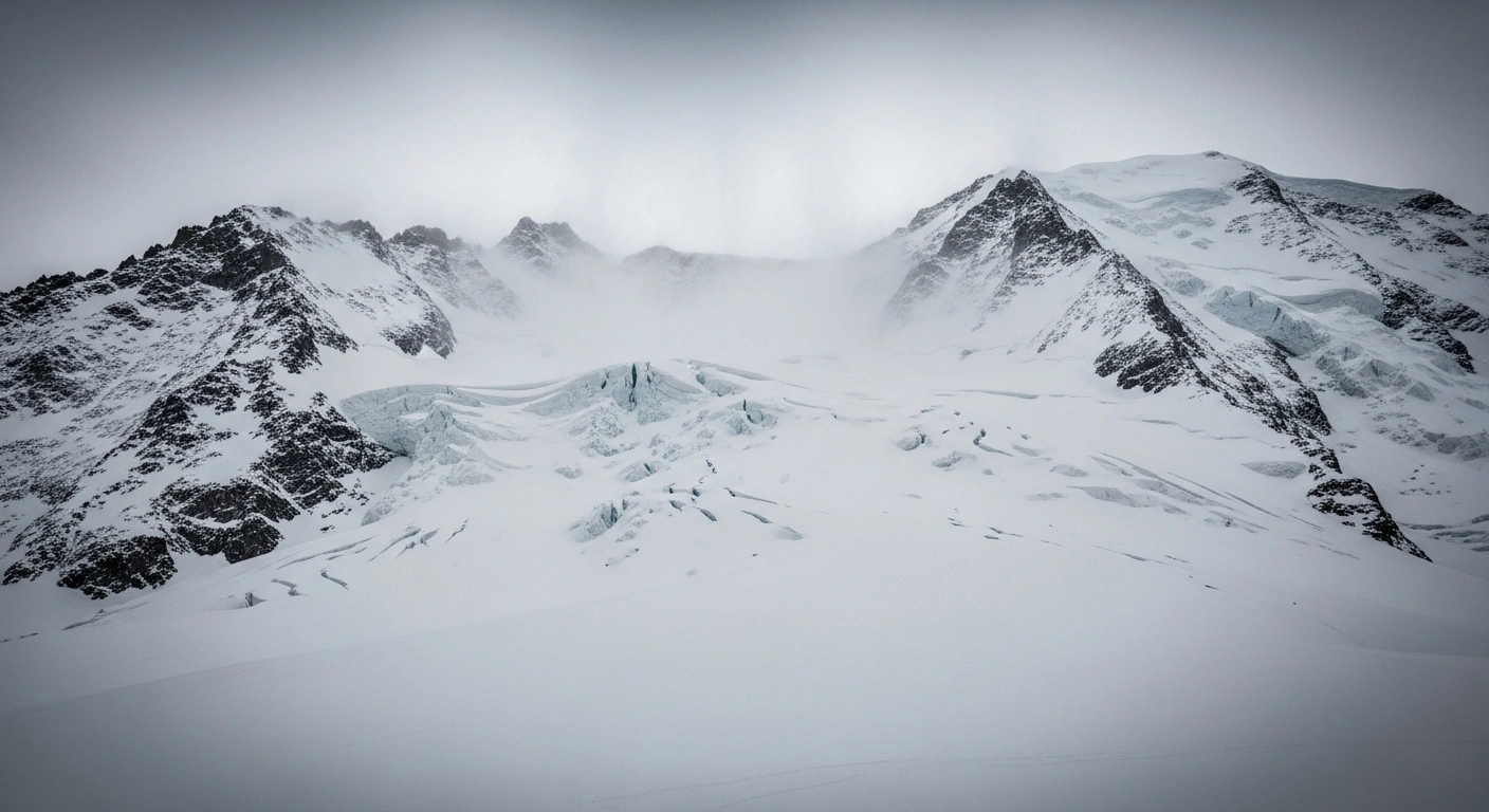
High Avalanche Risk Declared Across Swiss Alps
A significant portion of the Swiss Alps, notably the canton of Valais and the eastern sections of the northern Alpine slopes, has been under a heightened avalanche warning, reaching Level 4 out of a possible 5. This declaration, the second-highest on the European avalanche danger scale, was issued by the WSL Institute for Snow and Avalanche Research (SLF) and MeteoSwiss, following a period of intense snowfall and strong winds.
The warning, which was particularly critical from January 8 to 11, 2026, advised extreme caution for residents and visitors alike.
Contributing Factors: Heavy Snowfall and Wind
The elevated danger level is primarily attributed to substantial fresh snowfall combined with powerful winds. Over the weekend, many areas received between 20 to 40 centimetres of new snow above 800 meters. Some regions experienced even more significant accumulations, with the Valais Alps seeing 60 to 90 centimetres and parts of the Bernese Alps recording between 70 and 110 centimetres.
These large quantities of new snow, particularly wind-drifted snow, are poorly bonded with an older, weaker snowpack beneath, creating highly unstable conditions. The combination of these factors has led to a critical situation that is expected to improve only slowly.
Affected Regions and Safety Warnings
The high danger level (Level 4) specifically applies to various regions and side valleys within Upper, Central, and Lower Valais. Other areas impacted include:
- Northern Prättigau
- Sarganserland
- Gadmertal
- Northern Urseren
- Glarus South–Grosstal
- Maderanertal
- Guttannen
- Glarus South–Sernftal
- Meiental
The northern Alpine ridge, stretching from Les Diablerets to the Aletsch region, and the Mattertal, also faced high risk. In the Vaud Alps, the danger level was classified as 'significant' (Level 3 out of 5).
Authorities have strongly urged skiers and snowboarders to avoid off-piste terrain. Tourism boards, such as in Crans-Montana, have instructed hotels to inform guests about safe routes and to discourage venturing into uncontrolled areas. Mountain rescue services have noted an increase in call-outs from individuals who underestimated the formation of wind slabs on popular backcountry routes.
Impact on Transport and Outlook
The severe weather and avalanche risk have also led to disruptions in transportation. Several secondary roads have been closed, and Swiss Federal Railways (SBB) prepared for potential speed restrictions and line suspensions on mountain routes. Logistics companies transporting goods across key corridors like Simplon and Lötschberg braced for delays, with cantonal police reserving the right to halt heavy-goods convoys if snow accumulation exceeded 30 cm.
As of Monday, January 12, 2026, the intense storm front has largely passed, with forecasts indicating warmer and generally drier conditions across the Alps. However, the avalanche danger is expected to persist, particularly on very steep slopes, where rising temperatures could lead to moist snow slides and avalanches.


5 Comments
Loubianka
This is terrible for tourism! My ski trip is ruined.
Eugene Alta
The heavy snowfall is beautiful and great for future skiing, but the immediate danger from avalanches is a serious concern. People really need to stay on marked pistes and listen to local advice.
BuggaBoom
Crucial information for everyone in the region. Thanks for the heads-up!
Katchuka
Another overblown warning. They always exaggerate the danger.
KittyKat
Excellent work by SLF and MeteoSwiss. Safety first, always!