Code Orange Warning Issued as Storm Makes Landfall
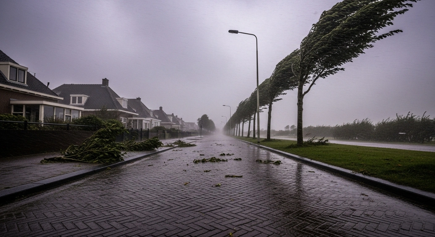
Storm Benjamin made landfall in the Netherlands on Thursday, October 23, 2025, prompting the Royal Netherlands Meteorological Institute (KNMI) to issue a 'Code Orange' weather warning for the western coastal provinces, including Zeeland, South Holland, and North Holland. Inland areas were placed under a 'Code Yellow' alert. The storm, the fifth official storm of the year for the Netherlands, brought powerful wind gusts, with speeds reaching up to 120 km/h in coastal regions and up to 90 km/h further inland. Heavy rainfall also accompanied the strong winds, with some areas expecting between 20 and 40 millimeters of precipitation.
Major Travel Chaos Across Air and Rail
The severe weather conditions led to extensive travel disruptions throughout the country. Schiphol Airport (AMS) in Amsterdam was significantly affected, with dozens of flights cancelled and many more experiencing delays. Dutch flagship carrier KLM preemptively cancelled 85 roundtrip flights to provide passengers with earlier certainty. Passengers were advised to check their flight status before traveling.
Rail services also faced considerable challenges. The national railway company NS implemented a reduced schedule, particularly in Zeeland, affecting routes between Roosendaal and Vlissingen. High-speed train services between Amsterdam and Breda were disrupted. Road traffic experienced significant delays and disruptions, with the Rijkswaterstaat warning motorists of hazardous conditions, especially for high-sided vehicles. Traffic jams topped 900 km during the evening rush hour.
Impacts and Safety Measures
The strong winds caused various incidents across the affected regions. Reports included:
- Fallen trees, impacting tram services in The Hague.
- Minor structural damage, such as blown-off roof tiles and damage to facades.
- A window blown out of a ninth-floor room in Eindhoven, though no injuries were reported.
Local authorities and emergency services were active in responding to storm-related calls. Seaside towns had taken precautionary measures, such as removing windows from beach pavilions. The KNMI advised residents to avoid unnecessary travel, especially in coastal areas, and to exercise caution due to the risk of flying objects and broken branches. The storm is expected to gradually subside, with winds easing throughout Friday, though breezy conditions and rain are forecast to continue over the weekend.


5 Comments
KittyKat
Stay safe everyone! These winds are incredibly powerful.
Eugene Alta
It's frustrating to deal with travel delays and damage, but the safety warnings are crucial. Perhaps we need to invest more in storm-proofing our cities rather than just reacting.
Katchuka
Fallen trees again? Why aren't cities doing more proactive maintenance?
Comandante
Another storm, same old chaos. Our infrastructure needs an upgrade.
Muchacha
This storm is certainly powerful and disruptive, yet it's hard not to wonder if these increasing extreme weather events are part of a larger climate trend we're ignoring.