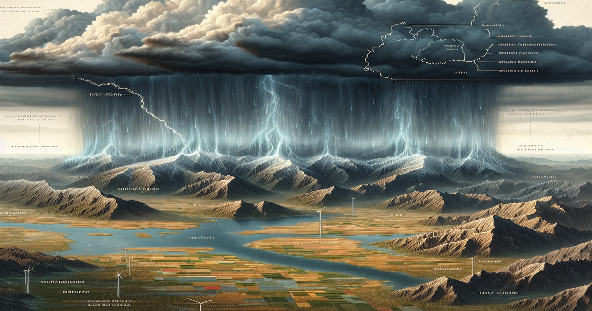
Northern China is currently facing significant rain, particularly in the Beijing-Tianjin-Hebei area, caused by a mix of atmospheric and geographical factors, as explained by forecasters. Chen Tao, who is the chief forecaster at the National Meteorological Center, noted that recent heavy rainfall is related to changing atmospheric conditions. A notably strong western Pacific subtropical high, which is positioned farther north than usual, has directed warm, moist air into North China, supplying ample moisture to enhance the rainfall.
The region's topography, including the Yinshan, Taihang, and Yanshan mountain ranges, has further intensified the rain through a process known as orographic lifting. This phenomenon occurs when air ascends over elevated terrain, leading to localized heavy rainfalls, with some regions experiencing what is classified as extremely heavy precipitation. Additionally, although Typhoon Co-may has primarily impacted eastern China, it has an indirect influence on the rain occurring in the northern regions. The activity of the typhoon can alter atmospheric conditions, including the subtropical high's dynamics, thus impacting moisture transport levels.
He Na, the chief forecaster at the Beijing Meteorological Observatory, remarked to the media that Co-may has played a role in the rainfall observed in Beijing, although indirectly. He pointed out that there was already significant water vapor present for rainfall before the typhoon's influence, but the moisture it transported bolstered humidity levels further, increasing the precipitation amounts. The moisture from Co-may is funneled northward along the edges of the subtropical high, where it supports both the typhoon's circulation and moisture flow toward Beijing.
Throughout the period from July 23 to Tuesday, parts of Beijing, Tianjin, and Hebei province recorded rainfall amounts ranging between 100 mm to 450 mm. In certain areas, such as the Miyun district of Beijing and cities like Baoding and Chengde in Hebei province, totals surpassed 500 mm. The forecast predicts the continuation of heavy rainfall and thunderstorms across North China through Friday. Consequently, the National Meteorological Center has issued an orange alert for heavy rain, marking it as the second-highest alert level, and maintains a yellow alert for severe convective weather, which is the third-highest level.
Moreover, extensive precipitation is anticipated across Shaanxi and Shanxi provinces, the Beijing-Tianjin-Hebei area, and parts of Guangdong and Fujian provinces, as well as regions along the Yangtze River. Some areas may experience torrential rain, severe short-term downpours, thunderstorms, gusty winds, and hail. Meanwhile, Typhoon Co-may is advancing northwest and gaining strength, with expectations for it to make landfall on Wednesday along the coasts of Zhejiang and Jiangsu provinces. A blue alert, which is the least severe of the four-level typhoon alerts, was renewed on Tuesday.


5 Comments
ZmeeLove
Why isn’t there more public education about extreme weather preparedness? People need to know how to protect themselves.
Muchacho
From 100 mm to 500 mm of rain in days? That’s insane! The climate is changing, and so should our policies.
Bermudez
The fact that we have a system of alerts is a sign of progress in disaster management! Safety first.
Africa
This is just another example of poor urban planning in China. Why are we still unprepared for such common weather events?
Comandante
It’s amazing how the weather varies so dramatically from one region to another. Mother Nature is truly powerful!